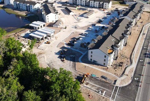
The recent completion of an off-site right turn lane connecting the main entrance driveway of

KPM Franklin has been recognized for the fifth consecutive year as one of the Best
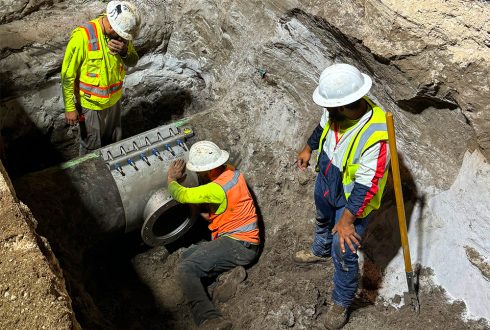
The sanitary force main connection at the Hillpointe multi-family project in Davenport was successfully completed
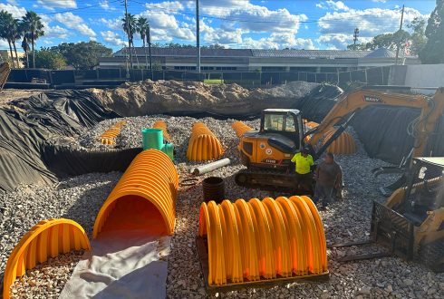
December 2023 images from the A La Cart project show progress on the installation of

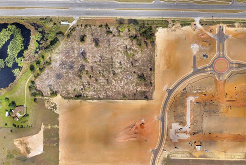
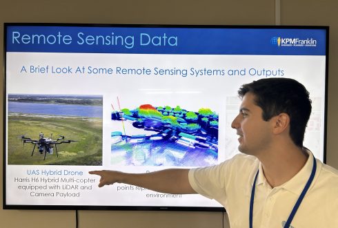
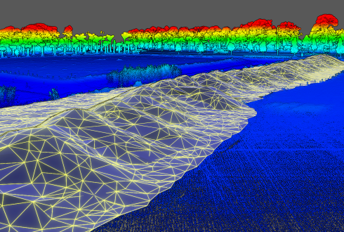
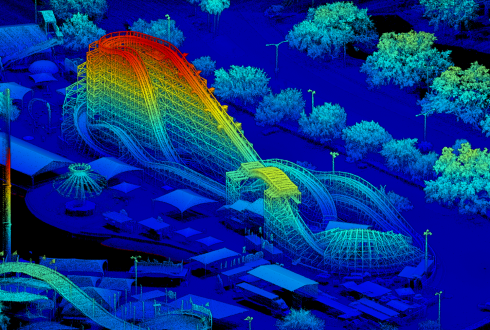
Using our Harris Aerial Carrier H6 Hybrid Drone, we created a 3D point cloud and
KPM Franklin’s Unmanned Aerial Surveying (UAS) Services can produce 3D surface maps – DEM, DTM
This week KPM Franklin’s GIS lead Carson Kelly attended the Central Florida GIS Workshop in
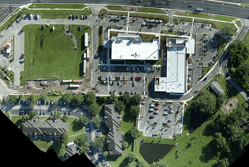
Our LiDAR scanning drone can capture georeferenced orthomosaic maps stitching together multiple overlapping images, eliminating
KPM Franklin’s Unmanned Aerial Surveying Services can create more accurate volumetric calculations of material stockpiles
KPM Franklin created the a 3D point cloud and rail line extraction of the Mine